July 18 2020 0Comment

GALALA DAM AND IRRIGATION PROJECT

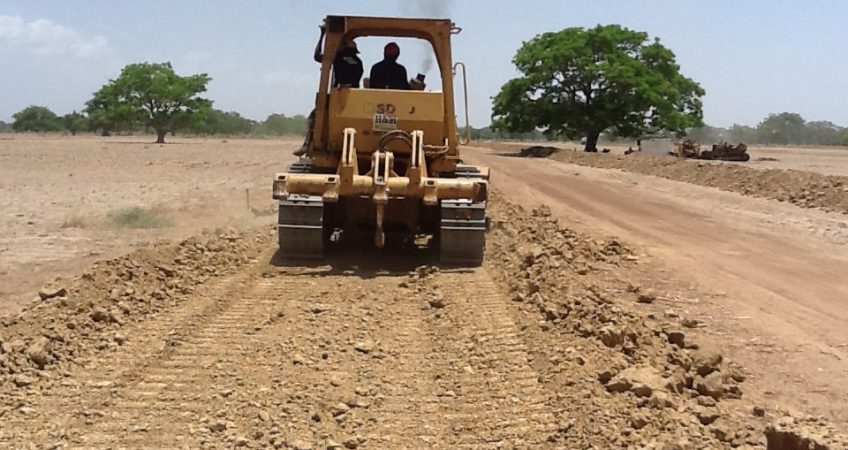
The Galala Dam is a medium size earth fill dam located on the boundary between Jigawa and Bauchi States.  It is constructed across the Galala River, a tributary of Jama’are/Bunga River.  The site is accessible through two seasonal roads of 18km from Kila Town along Kano – Maiduguri Road and 25km from Nasaru on Bauchi – Ningi Road. The Galala dam ha s the following features:


Embankment Length                                                   –                       440 m

Crest Elevation                                                            –                       440 m above sea level

Maximum crest height                                                 –                       12 m

Maximum Width of base                                              –                       75 m

Volume of fill                                                                –                       47,490 m3

Volume of rip-rap bedding                                           –                       3,300 m3

Reservoir capacity                                                       –                       23 mil. m3

Volume available for irrigation                                     –                       22 mil. m2

Elevation at Full Supply level                                       –                       436.5 m a.s.l.

Probable Maximum Flood (PMF)                                –                       1,580 m3/sec.

Active Storage                                                             –                       21 mil. m3


The potential irrigation area is 620 hectares out of which the first 230 hectares is under construction.

Write a Reply or Comment