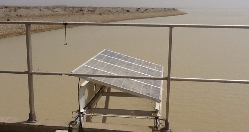
The Challawa Gorge Dam is a large earth fill dam constructed on Challawa River at Karaye, some 90 km South-west of Kano City. The dam is designed to create a multipurpose reservoir to in conjunction with the Tiga dam serve the water needs of downstream areas in Kano, Jigawa, Yobe and Borno States. Principal uses of the dam are therefore:
i. To supplement water from Tiga Dam for the irrigation of about 25,000 hectares of land in Hadejia Valley Irrigation Project, 40,000 hectares of Kano River Irrigation Project Phase II and other pump-based irrigation schemes downstream.
ii. Supplementing water supply to Kano metropolis and other communities
iii. Mandatory minimum flow releases for downstream uses in Jigawa, Yobe and Borno States,
iv. Flood and erosion control
v. Development of fisheries and livestock, and recharge aquifers in the Basin area for successful borehole and fadama Projects.
The features of the dam are as follows:
a. Length of dam – 7.804 km
b. Dam crest elevation – 527.45 m
c. Maximum height from foundation level – 42.0 m
d. Maximum width at base – 240.0 m
e. Volume of earth fill – 6.2(mcm)
f. Total reservoir capacity – 930.0 mcm
g. Reservoir area at full capacity supply level – 100 km2
h. Elevation at full supply level – 523.76 m
i. Probable maximum flood (PFM) – 6,500 m3/sec.
j. Crest length of ungated spillway – 600 m
k. Active Storage – 904 mcm
l. Dead Storage – 26 mcm
m. Reservoir losses – 8.9 mcm
n. Annual yield – 470 mcm
o. Catchments area – 3,857 km2

